Wyke Farm
Introduction
The photograph on this page of Wyke Farm by Derek Harper as part of the Geograph project.
The Geograph project started in 2005 with the aim of publishing, organising and preserving representative images for every square kilometre of Great Britain, Ireland and the Isle of Man.

There are currently over 7.5m images from over 14,400 individuals and you can help contribute to the project by visiting https://www.geograph.org.uk
Wyke Farm
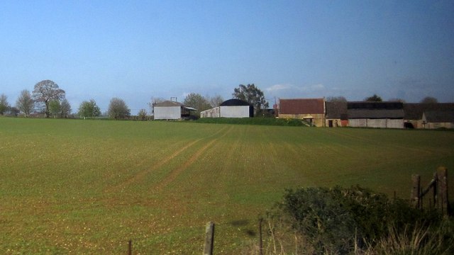
Image: © Derek Harper Taken: 29 Apr 2013
The farm is bisected by the railway line from which this was taken. The nearer barns left of centre and to the right are in square, together with the field in the foreground, but the historically significant range of barns behind http://list.english-heritage.org.uk/resultsingle.aspx?uid=1304035&searchtype=mapsearch , with the red roof at the northwest end, is just into Image
Images are licensed for reuse under creativecommons.org/licenses/by-sa/2.0
Image Location
Latitude
50.929545
Longitude
-2.570685