Old road sign, Crick
Introduction
The photograph on this page of Old road sign, Crick by Ruth Sharville as part of the Geograph project.
The Geograph project started in 2005 with the aim of publishing, organising and preserving representative images for every square kilometre of Great Britain, Ireland and the Isle of Man.

There are currently over 7.5m images from over 14,400 individuals and you can help contribute to the project by visiting https://www.geograph.org.uk
Old road sign, Crick
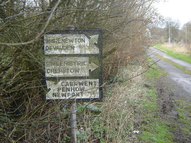
Image: © Ruth Sharville Taken: 25 Feb 2007
This road sign is evidence that the lane it is to be found in (photo http://www.geograph.org.uk/photo/347198 ), which is now a dead end thanks to the M48, used to be the main route through from Portskewett to Crick. They don't make them like this any more...
Images are licensed for reuse under creativecommons.org/licenses/by-sa/2.0
Image Location
Latitude
51.605955
Longitude
-2.740856