The William Rippin path
Introduction
The photograph on this page of The William Rippin path by Richard Law as part of the Geograph project.
The Geograph project started in 2005 with the aim of publishing, organising and preserving representative images for every square kilometre of Great Britain, Ireland and the Isle of Man.

There are currently over 7.5m images from over 14,400 individuals and you can help contribute to the project by visiting https://www.geograph.org.uk
The William Rippin path
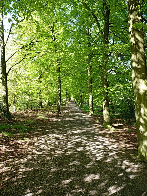
Image: © Richard Law Taken: 16 May 2013
An avenue of trees on the side of Beacon Hill, planted in the 1950s in memory of a local councillor and rights of way campaigner.
Images are licensed for reuse under creativecommons.org/licenses/by-sa/2.0
Image Location


Leaflet Map data © OpenStreetMap
Latitude
52.72859
Longitude
-1.254829