Former hospital lodge on the east side of Chestnut Drive, Abergavenny
Introduction
The photograph on this page of Former hospital lodge on the east side of Chestnut Drive, Abergavenny by Jaggery as part of the Geograph project.
The Geograph project started in 2005 with the aim of publishing, organising and preserving representative images for every square kilometre of Great Britain, Ireland and the Isle of Man.

There are currently over 7.5m images from over 14,400 individuals and you can help contribute to the project by visiting https://www.geograph.org.uk
Former hospital lodge on the east side of Chestnut Drive, Abergavenny
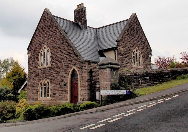
Image: © Jaggery Taken: 17 May 2013
Viewed across Old Monmouth Road. Now a private residence, formerly a lodge at an entrance to Pen-y-fal Hospital. There is a similar lodge 10 metres away, http://www.geograph.org.uk/photo/3470284 facing this one on the opposite side of Chestnut Drive.
Images are licensed for reuse under creativecommons.org/licenses/by-sa/2.0
Image Location
Latitude
51.823721
Longitude
-3.007337