Development site, Bangor (2013-1)
Introduction
The photograph on this page of Development site, Bangor (2013-1) by Albert Bridge as part of the Geograph project.
The Geograph project started in 2005 with the aim of publishing, organising and preserving representative images for every square kilometre of Great Britain, Ireland and the Isle of Man.

There are currently over 7.5m images from over 14,400 individuals and you can help contribute to the project by visiting https://www.geograph.org.uk
Development site, Bangor (2013-1)
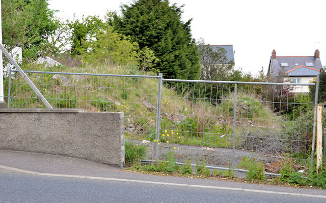
Image: © Albert Bridge Taken: 21 May 2013
A site, on the Donaghadee Road almost opposite Manselton Close, offered for sale. The agents’ description includes the following “The consent was granted in full on 29 March 2009 (Ref: W/2007/1073/F) . . . . . . The site has the benefit of full planning permission for some 9 No. units, comprising 4 No. apartments (2 bed / 1 rec); 2 No. No. semi-detached (3 bed / 3 rec) and 3 No. townhouses (3 bed / 3 rec)”. This photograph appears as a matter of record only. I have no connection with any of the parties involved in the sale.
Images are licensed for reuse under creativecommons.org/licenses/by-sa/2.0
Image Location
Latitude
54.66172
Longitude
-5.65292