Chapplecroft Road
Introduction
The photograph on this page of Chapplecroft Road by Derek Harper as part of the Geograph project.
The Geograph project started in 2005 with the aim of publishing, organising and preserving representative images for every square kilometre of Great Britain, Ireland and the Isle of Man.

There are currently over 7.5m images from over 14,400 individuals and you can help contribute to the project by visiting https://www.geograph.org.uk
Chapplecroft Road
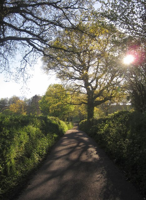
Image: © Derek Harper Taken: 16 May 2013
A straight stretch of road leading past East Membury Farm, at the entrance to which it turns sharp right.
Images are licensed for reuse under creativecommons.org/licenses/by-sa/2.0
Image Location
Latitude
50.821843
Longitude
-3.016