Opposite Cockfosters Station
Introduction
The photograph on this page of Opposite Cockfosters Station by Des Blenkinsopp as part of the Geograph project.
The Geograph project started in 2005 with the aim of publishing, organising and preserving representative images for every square kilometre of Great Britain, Ireland and the Isle of Man.

There are currently over 7.5m images from over 14,400 individuals and you can help contribute to the project by visiting https://www.geograph.org.uk
Opposite Cockfosters Station
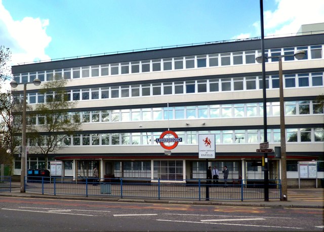
Image: © Des Blenkinsopp Taken: 30 Apr 2013
This is over the road from Cockfosters tube station. The name Cockfosters has been recorded as far back as 1524, and is thought to be either the name of a family, or that of a house which stood on Enfield Chase. One suggestion is that it was "the residence of the cock forester (or chief forester)". Source Wiki.
Images are licensed for reuse under creativecommons.org/licenses/by-sa/2.0
Image Location
Latitude
51.65128
Longitude
-0.150626