The remains of the Ainderby Steeple village name stone
Introduction
The photograph on this page of The remains of the Ainderby Steeple village name stone by Roger Templeman as part of the Geograph project.
The Geograph project started in 2005 with the aim of publishing, organising and preserving representative images for every square kilometre of Great Britain, Ireland and the Isle of Man.

There are currently over 7.5m images from over 14,400 individuals and you can help contribute to the project by visiting https://www.geograph.org.uk
The remains of the Ainderby Steeple village name stone
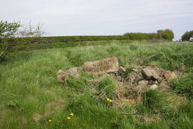
Image: © Roger Templeman Taken: 6 May 2013
Before its demolition (assume road traffic accident) the village name stone stood 5ft. high with an OS benchmark on top. The stone brick with the mark Image can be seen to the right of the metal name plate.
Images are licensed for reuse under creativecommons.org/licenses/by-sa/2.0
Image Location
Latitude
54.322734
Longitude
-1.481233