Upperfields, Ledbury
Introduction
The photograph on this page of Upperfields, Ledbury by Jaggery as part of the Geograph project.
The Geograph project started in 2005 with the aim of publishing, organising and preserving representative images for every square kilometre of Great Britain, Ireland and the Isle of Man.

There are currently over 7.5m images from over 14,400 individuals and you can help contribute to the project by visiting https://www.geograph.org.uk
Upperfields, Ledbury
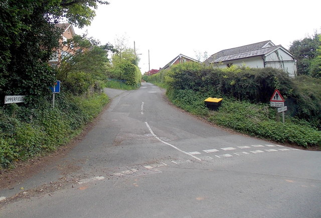
Image: © Jaggery Taken: 19 May 2013
Viewed from Knapp Lane. Upperfields is a 300 metre long residential cul-de-sac at the western edge of Dog Hill Wood.
Images are licensed for reuse under creativecommons.org/licenses/by-sa/2.0
Image Location
Latitude
52.042971
Longitude
-2.421756