Yorkshire Wolds Way through Potter Brompton
Introduction
The photograph on this page of Yorkshire Wolds Way through Potter Brompton by Martin Dawes as part of the Geograph project.
The Geograph project started in 2005 with the aim of publishing, organising and preserving representative images for every square kilometre of Great Britain, Ireland and the Isle of Man.

There are currently over 7.5m images from over 14,400 individuals and you can help contribute to the project by visiting https://www.geograph.org.uk
Yorkshire Wolds Way through Potter Brompton
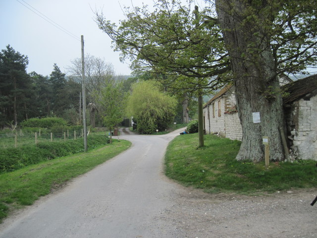
Image: © Martin Dawes Taken: 8 May 2013
At the southern end of the village the national trail comes in from the right goes up the lane then turns left with the lane which shortly becomes a track.
Images are licensed for reuse under creativecommons.org/licenses/by-sa/2.0
Image Location
Latitude
54.177092
Longitude
-0.499749