Road closed, Sheafhayne Cross
Introduction
The photograph on this page of Road closed, Sheafhayne Cross by Derek Harper as part of the Geograph project.
The Geograph project started in 2005 with the aim of publishing, organising and preserving representative images for every square kilometre of Great Britain, Ireland and the Isle of Man.

There are currently over 7.5m images from over 14,400 individuals and you can help contribute to the project by visiting https://www.geograph.org.uk
Road closed, Sheafhayne Cross
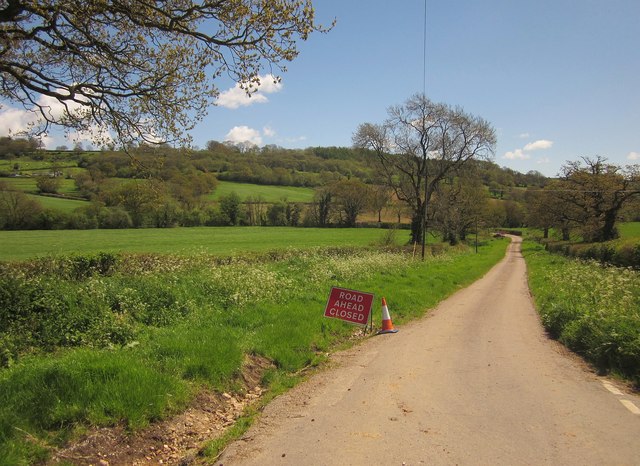
Image: © Derek Harper Taken: 16 May 2013
This is the road to the right in Image; normally it leads across the Yarty to Howley, but today you have to make a long diversion via Marsh. Never mind, it's nice countryside and a lovely spring day.
Images are licensed for reuse under creativecommons.org/licenses/by-sa/2.0
Image Location
Latitude
50.879769
Longitude
-3.055071