Margate Pier, The Droit House
Introduction
The photograph on this page of Margate Pier, The Droit House by David Dixon as part of the Geograph project.
The Geograph project started in 2005 with the aim of publishing, organising and preserving representative images for every square kilometre of Great Britain, Ireland and the Isle of Man.

There are currently over 7.5m images from over 14,400 individuals and you can help contribute to the project by visiting https://www.geograph.org.uk
Margate Pier, The Droit House
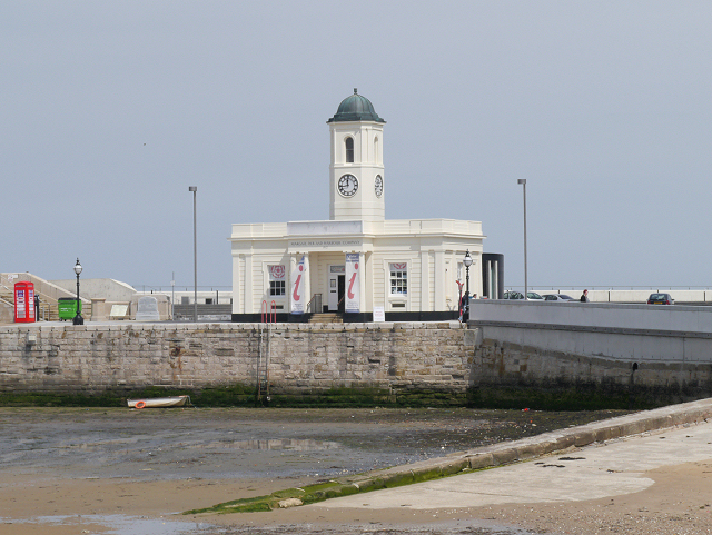
Image: © David Dixon Taken: 16 May 2013
The droit office is a post-war replica of the original building which was erected in 1830. It was destroyed by enemy bombing in 1942 and rebuilt in 1947. It is now used by Margate's tourist information centre.
Images are licensed for reuse under creativecommons.org/licenses/by-sa/2.0
Image Location
Latitude
51.391099
Longitude
1.381191