CMA CGM LEO approaches the Container Port at Southampton Docks - 2
Introduction
The photograph on this page of CMA CGM LEO approaches the Container Port at Southampton Docks - 2 by Terry Robinson as part of the Geograph project.
The Geograph project started in 2005 with the aim of publishing, organising and preserving representative images for every square kilometre of Great Britain, Ireland and the Isle of Man.

There are currently over 7.5m images from over 14,400 individuals and you can help contribute to the project by visiting https://www.geograph.org.uk
CMA CGM LEO approaches the Container Port at Southampton Docks - 2
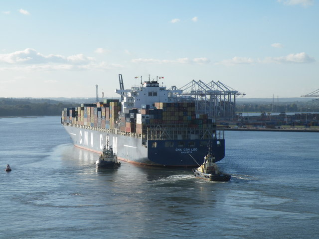
Image: © Terry Robinson Taken: 5 Nov 2012
For more information about the Container Ship and the Container Port … see … Image Image Image Image
Images are licensed for reuse under creativecommons.org/licenses/by-sa/2.0
Image Location


Leaflet Map data © OpenStreetMap
Latitude
50.903191
Longitude
-1.446316