Road east of Ash Mill
Introduction
The photograph on this page of Road east of Ash Mill by Derek Harper as part of the Geograph project.
The Geograph project started in 2005 with the aim of publishing, organising and preserving representative images for every square kilometre of Great Britain, Ireland and the Isle of Man.

There are currently over 7.5m images from over 14,400 individuals and you can help contribute to the project by visiting https://www.geograph.org.uk
Road east of Ash Mill
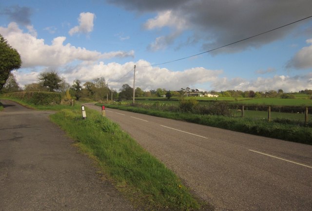
Image: © Derek Harper Taken: 15 May 2013
On the left is the line of the old road, which makes a right-angled bend at Woods House. The main road, the former B3221 until the A361 link road was built, smoothly cuts across the corner. The buildings right of centre are at West Ford, in Image
Images are licensed for reuse under creativecommons.org/licenses/by-sa/2.0
Image Location
Latitude
50.995625
Longitude
-3.731024