Dalmoak Farm from the A812
Introduction
The photograph on this page of Dalmoak Farm from the A812 by Barbara Carr as part of the Geograph project.
The Geograph project started in 2005 with the aim of publishing, organising and preserving representative images for every square kilometre of Great Britain, Ireland and the Isle of Man.

There are currently over 7.5m images from over 14,400 individuals and you can help contribute to the project by visiting https://www.geograph.org.uk
Dalmoak Farm from the A812
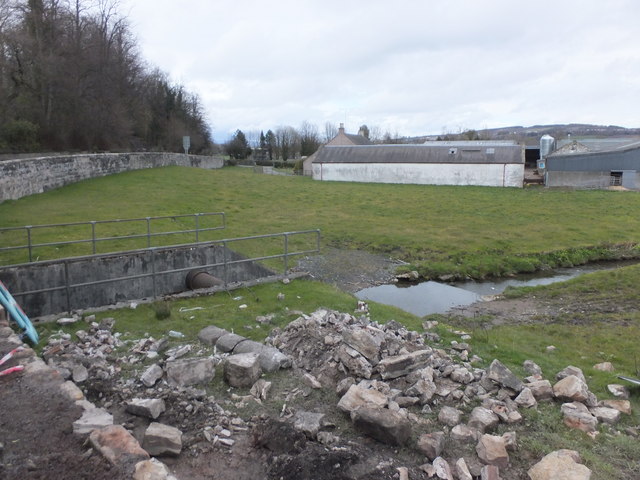
Image: © Barbara Carr Taken: 21 Apr 2013
View northward, from the bus stop south of the stream which flows eastward to join the River Leven near Dumbarton.
Images are licensed for reuse under creativecommons.org/licenses/by-sa/2.0
Image Location
Latitude
55.957178
Longitude
-4.587965