Sandleheath: postbox № SP6 446, Old Brickyard Road
Introduction
The photograph on this page of Sandleheath: postbox № SP6 446, Old Brickyard Road by Chris Downer as part of the Geograph project.
The Geograph project started in 2005 with the aim of publishing, organising and preserving representative images for every square kilometre of Great Britain, Ireland and the Isle of Man.

There are currently over 7.5m images from over 14,400 individuals and you can help contribute to the project by visiting https://www.geograph.org.uk
Sandleheath: postbox № SP6 446, Old Brickyard Road
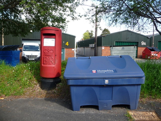
Image: © Chris Downer Taken: 18 May 2013
An example of the relatively common 'Type K' postbox, introduced in 1980. It serves a few houses in Old Brickyard Road but principally the Sandleheath Industrial Estate, which that road becomes.
Images are licensed for reuse under creativecommons.org/licenses/by-sa/2.0
Image Location
Latitude
50.932962
Longitude
-1.820932