St. Ives: postbox № BH24 76, Sandy Lane
Introduction
The photograph on this page of St. Ives: postbox № BH24 76, Sandy Lane by Chris Downer as part of the Geograph project.
The Geograph project started in 2005 with the aim of publishing, organising and preserving representative images for every square kilometre of Great Britain, Ireland and the Isle of Man.

There are currently over 7.5m images from over 14,400 individuals and you can help contribute to the project by visiting https://www.geograph.org.uk
St. Ives: postbox № BH24 76, Sandy Lane
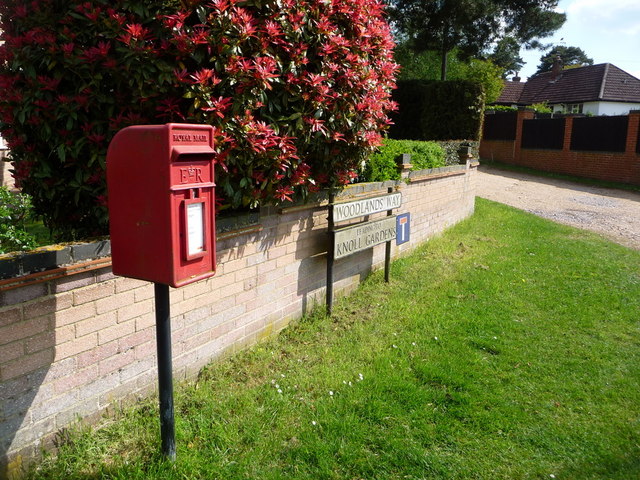
Image: © Chris Downer Taken: 18 May 2013
This small postbox has had a period of absence (it was certainly absent when Google Maps photographed the area in June 2009) but is back in service on the junction of Woodlands Way with Sandy Lane, one of the main roads through the village.
Images are licensed for reuse under creativecommons.org/licenses/by-sa/2.0
Image Location
Latitude
50.833887
Longitude
-1.836079