Wood Street side of the Hanbury Square redevelopment, Bargoed
Introduction
The photograph on this page of Wood Street side of the Hanbury Square redevelopment, Bargoed by Jaggery as part of the Geograph project.
The Geograph project started in 2005 with the aim of publishing, organising and preserving representative images for every square kilometre of Great Britain, Ireland and the Isle of Man.

There are currently over 7.5m images from over 14,400 individuals and you can help contribute to the project by visiting https://www.geograph.org.uk
Wood Street side of the Hanbury Square redevelopment, Bargoed
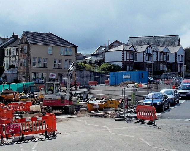
Image: © Jaggery Taken: 15 May 2013
This mid May 2013 view shows work in progress on and near the site of the former bus station. A local newspaper stated that this area will become a "new usable public and events space." The town's new bus station is nearby. http://www.geograph.org.uk/photo/3418575
Images are licensed for reuse under creativecommons.org/licenses/by-sa/2.0
Image Location
Latitude
51.687708
Longitude
-3.231001