Northern boundary of Gilfach
Introduction
The photograph on this page of Northern boundary of Gilfach by Jaggery as part of the Geograph project.
The Geograph project started in 2005 with the aim of publishing, organising and preserving representative images for every square kilometre of Great Britain, Ireland and the Isle of Man.

There are currently over 7.5m images from over 14,400 individuals and you can help contribute to the project by visiting https://www.geograph.org.uk
Northern boundary of Gilfach
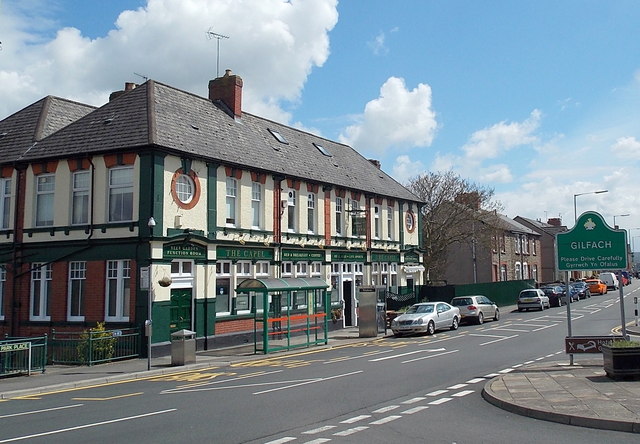
Image: © Jaggery Taken: 15 May 2013
The Gilfach boundary sign on the right is back-to-back with the boundary sign http://www.geograph.org.uk/photo/3463912 for Bargoed. The Capel http://www.geograph.org.uk/photo/3463904 is on the left.
Images are licensed for reuse under creativecommons.org/licenses/by-sa/2.0
Image Location
Latitude
51.683321
Longitude
-3.229147