A36 passes the Church of St Peter
Introduction
The photograph on this page of A36 passes the Church of St Peter by Stuart Logan as part of the Geograph project.
The Geograph project started in 2005 with the aim of publishing, organising and preserving representative images for every square kilometre of Great Britain, Ireland and the Isle of Man.

There are currently over 7.5m images from over 14,400 individuals and you can help contribute to the project by visiting https://www.geograph.org.uk
A36 passes the Church of St Peter
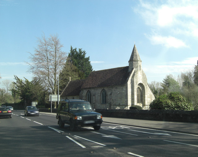
Image: © Stuart Logan Taken: 25 Apr 2013
This little church is rather fine, being Grade II* listed. It dates from the 13th C but the bellcote was added some 200 years later. It has English Heritage Building ID: 319286 and much more detail available on: http://www.britishlistedbuildings.co.uk/en-319286-church-of-st-peter-wilton-wiltshire
Images are licensed for reuse under creativecommons.org/licenses/by-sa/2.0
Image Location
Latitude
51.081471
Longitude
-1.855479