Prospect Place
Introduction
The photograph on this page of Prospect Place by chris whitehouse as part of the Geograph project.
The Geograph project started in 2005 with the aim of publishing, organising and preserving representative images for every square kilometre of Great Britain, Ireland and the Isle of Man.

There are currently over 7.5m images from over 14,400 individuals and you can help contribute to the project by visiting https://www.geograph.org.uk
Prospect Place
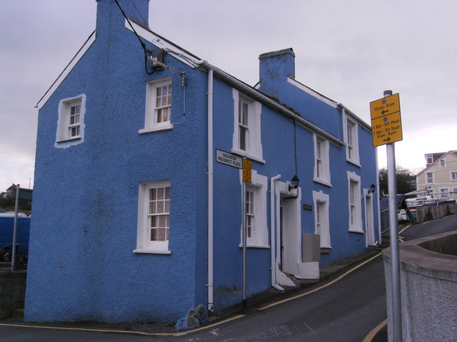
Image: © chris whitehouse Taken: 9 Mar 2013
These buildings on Prospect Place are not shown on the OS maps, Prospect Place is a continuation of Water Street, the sea is to the left, and behind these houses is a large car park with boats parked for the winter, see Image
Images are licensed for reuse under creativecommons.org/licenses/by-sa/2.0
Image Location
Latitude
52.215924
Longitude
-4.360569