Road junction, Foulden
Introduction
The photograph on this page of Road junction, Foulden by Barbara Carr as part of the Geograph project.
The Geograph project started in 2005 with the aim of publishing, organising and preserving representative images for every square kilometre of Great Britain, Ireland and the Isle of Man.

There are currently over 7.5m images from over 14,400 individuals and you can help contribute to the project by visiting https://www.geograph.org.uk
Road junction, Foulden
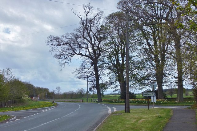
Image: © Barbara Carr Taken: 14 May 2013
Travelling west on the A6105 through Foulden. The minor road to the right goes via Blinkbonny and Bastleridge (wonderful names!) to Ayton. The junction to the left gives access to housing in the Woodlands area.
Images are licensed for reuse under creativecommons.org/licenses/by-sa/2.0
Image Location
Latitude
55.795809
Longitude
-2.106038