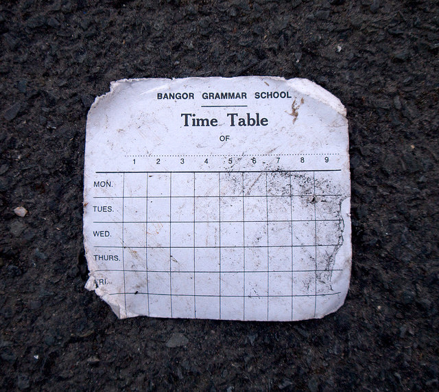
Demolition, Bangor
Introduction
The photograph on this page of Demolition, Bangor by Rossographer as part of the Geograph project.
The Geograph project started in 2005 with the aim of publishing, organising and preserving representative images for every square kilometre of Great Britain, Ireland and the Isle of Man.
There are currently over 7.5m images from over 14,400 individuals and you can help contribute to the project by visiting https://www.geograph.org.uk

Image: © Rossographer Taken: 21 Apr 2013
This was blowing about in the wind outside. Such cards will be familiar to thousands of past pupils who were issued with one at the start of each school year. The school day, beginning after assembly at 9:05am, was split into 8 periods of 40 minutes; break was between periods 3 & 4 from 11:05am-11:20am; lunch (50 minutes) was either period 6 or 7 depending what year you were in and the day finished at 3:20pm. Nowadays pupils are given a computer print-out of their classes.

