Hosey Common
Introduction
The photograph on this page of Hosey Common by Nigel Freeman as part of the Geograph project.
The Geograph project started in 2005 with the aim of publishing, organising and preserving representative images for every square kilometre of Great Britain, Ireland and the Isle of Man.

There are currently over 7.5m images from over 14,400 individuals and you can help contribute to the project by visiting https://www.geograph.org.uk
Hosey Common
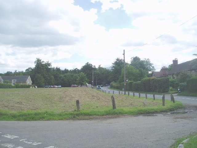
Image: © Nigel Freeman Taken: 7 Aug 2005
To the left is French Street, and straight ahead is the road that takes you to Chartwell, the former home of Winston Churchill
Images are licensed for reuse under creativecommons.org/licenses/by-sa/2.0
Image Location


Leaflet Map data © OpenStreetMap
Latitude
51.259477
Longitude
0.079554