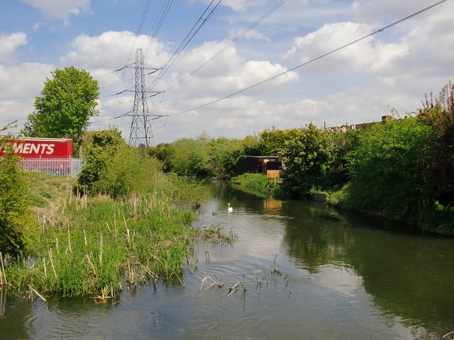
Colne Brook: view upstream
Introduction
The photograph on this page of Colne Brook: view upstream by Stefan Czapski as part of the Geograph project.
The Geograph project started in 2005 with the aim of publishing, organising and preserving representative images for every square kilometre of Great Britain, Ireland and the Isle of Man.
There are currently over 7.5m images from over 14,400 individuals and you can help contribute to the project by visiting https://www.geograph.org.uk

Image: © Stefan Czapski Taken: 6 May 2013
The wider area is a patchwork of land-uses: reservoirs and other industrial sites, old gravel pits (often surrounded by woodland or scrub), with residential areas focused around old village centres. The whole is neither rural nor suburban, though 'urban fringe' would be a fair description. Heathrow and the M25 are major presences. It isn't easy to imagine the landscape as it must have been in Napoleonic times - before the arrival of large-scale gravel extraction and (later) the huge reservoirs. The fenced-off area on the left is - I believe - occupied by a road-haulage firm.

