Flats at Bell Green
Introduction
The photograph on this page of Flats at Bell Green by Derek Harper as part of the Geograph project.
The Geograph project started in 2005 with the aim of publishing, organising and preserving representative images for every square kilometre of Great Britain, Ireland and the Isle of Man.

There are currently over 7.5m images from over 14,400 individuals and you can help contribute to the project by visiting https://www.geograph.org.uk
Flats at Bell Green
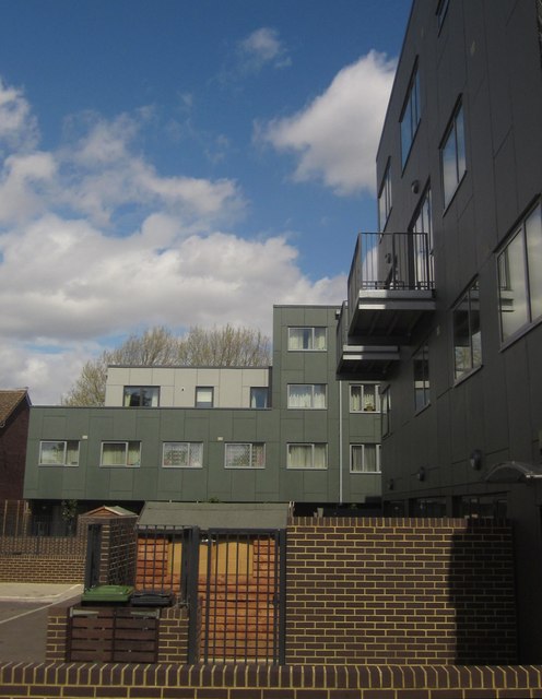
Image: © Derek Harper Taken: 9 May 2013
Flats at the east end of Holmshaw Close. This recent development is described in a planning application at http://councilmeetings.lewisham.gov.uk/Data/Planning%20Committee%20C/20091112/Agenda/25b2daa436fb4402b6b5ec9b229cbe575084BellGreen12November2009.PDF , for instance: "The southwest rear ground floor elevation facing the private gardens will be dark grey / charcoal aluminium", although some details have been amended.
Images are licensed for reuse under creativecommons.org/licenses/by-sa/2.0
Image Location
Latitude
51.429584
Longitude
-0.038033