View up the watter from the Squinty Bridge
Introduction
The photograph on this page of View up the watter from the Squinty Bridge by Barbara Carr as part of the Geograph project.
The Geograph project started in 2005 with the aim of publishing, organising and preserving representative images for every square kilometre of Great Britain, Ireland and the Isle of Man.

There are currently over 7.5m images from over 14,400 individuals and you can help contribute to the project by visiting https://www.geograph.org.uk
View up the watter from the Squinty Bridge
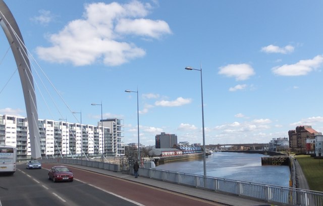
Image: © Barbara Carr Taken: 19 Apr 2013
Compare with Image The next bridge in view is Kingston Bridge, with the (white) Squiggly Bridge (officially known as the Tradeston-Broomielaw Bridge) visible beneath its arch.
Images are licensed for reuse under creativecommons.org/licenses/by-sa/2.0
Image Location
Latitude
55.856395
Longitude
-4.275568