Kirkdale, Upper Sydenham
Introduction
The photograph on this page of Kirkdale, Upper Sydenham by Derek Harper as part of the Geograph project.
The Geograph project started in 2005 with the aim of publishing, organising and preserving representative images for every square kilometre of Great Britain, Ireland and the Isle of Man.

There are currently over 7.5m images from over 14,400 individuals and you can help contribute to the project by visiting https://www.geograph.org.uk
Kirkdale, Upper Sydenham
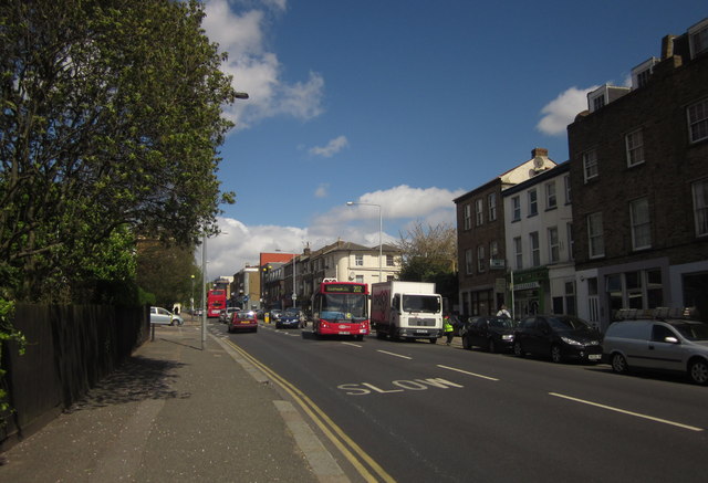
Image: © Derek Harper Taken: 9 May 2013
The A2216. The 202 bus is heading for Blackheath, although heading SSE down Kirkdale might not strike you as the best direction, Blackheath being northeast from here. Trust me, it'll get there, as long as it returns to the correct side of the road. The junction just ahead on the left is with Jews Walk.
Images are licensed for reuse under creativecommons.org/licenses/by-sa/2.0
Image Location
Latitude
51.430477
Longitude
-0.059286