Witchampton, road junction
Introduction
The photograph on this page of Witchampton, road junction by Mike Faherty as part of the Geograph project.
The Geograph project started in 2005 with the aim of publishing, organising and preserving representative images for every square kilometre of Great Britain, Ireland and the Isle of Man.

There are currently over 7.5m images from over 14,400 individuals and you can help contribute to the project by visiting https://www.geograph.org.uk
Witchampton, road junction
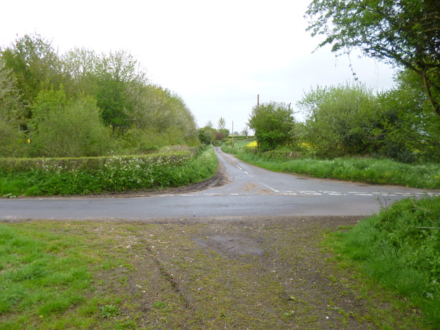
Image: © Mike Faherty Taken: 12 May 2013
Left, Ackling Dyke, former Roman road, towards Moor Crichel; ahead, to Witchampton; right, to Old Lawn Farm.
Images are licensed for reuse under creativecommons.org/licenses/by-sa/2.0
Image Location


Leaflet Map data © OpenStreetMap
Latitude
50.851442
Longitude
-2.034894