Lambley NG4, Notts.
Introduction
The photograph on this page of Lambley NG4, Notts. by David Hallam-Jones as part of the Geograph project.
The Geograph project started in 2005 with the aim of publishing, organising and preserving representative images for every square kilometre of Great Britain, Ireland and the Isle of Man.

There are currently over 7.5m images from over 14,400 individuals and you can help contribute to the project by visiting https://www.geograph.org.uk
Lambley NG4, Notts.
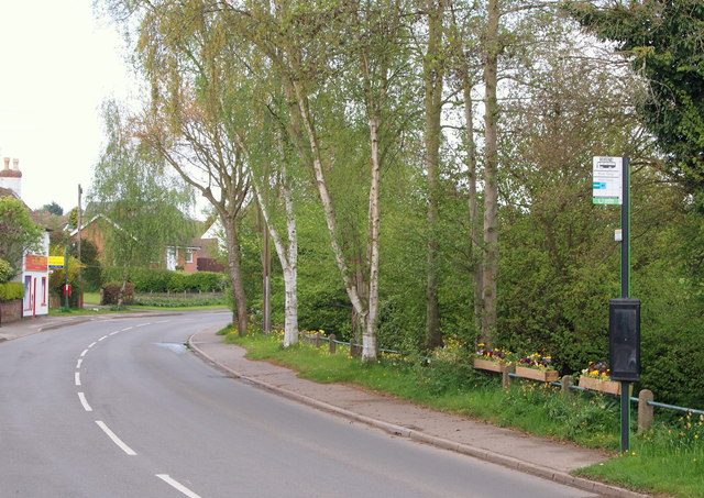
Image: © David Hallam-Jones Taken: 12 May 2013
A view along Main Street with the former Post Office (now a shop) on the left. Cocker Beck (or "Crooked Stream"), a stream that has descended from Mapperley Plains and that runs westwards towards the River Trent can be seen in a gully/gulley behind the bus stop, having passed through the upper reaches of "The Lambley Dumble", i.e. a wood-lined stream often passing throughin narrow, steep sided valley.
Images are licensed for reuse under creativecommons.org/licenses/by-sa/2.0
Image Location
Latitude
53.000856
Longitude
-1.060459