End of the road
Introduction
The photograph on this page of End of the road by Philip Halling as part of the Geograph project.
The Geograph project started in 2005 with the aim of publishing, organising and preserving representative images for every square kilometre of Great Britain, Ireland and the Isle of Man.

There are currently over 7.5m images from over 14,400 individuals and you can help contribute to the project by visiting https://www.geograph.org.uk
End of the road
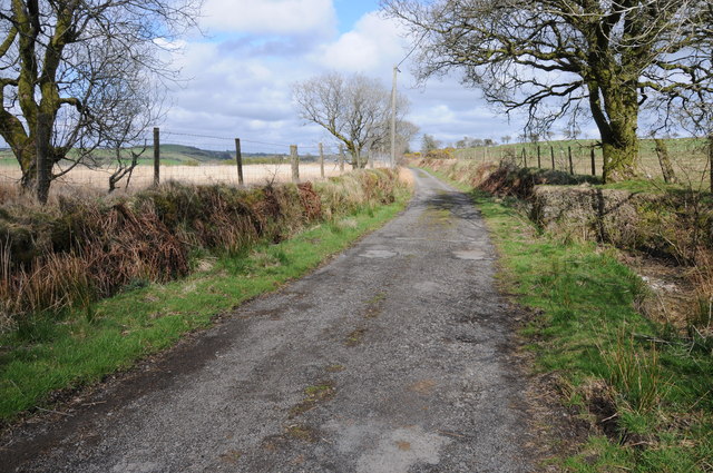
Image: © Philip Halling Taken: 5 May 2013
This no through road above Talley follows a ridge and offers fine views particular to the north. The road provides access to farmland and at its western end a footpath continues to the west.
Images are licensed for reuse under creativecommons.org/licenses/by-sa/2.0
Image Location
Latitude
51.98503
Longitude
-3.956785