Reedbed clearing
Introduction
The photograph on this page of Reedbed clearing by William Starkey as part of the Geograph project.
The Geograph project started in 2005 with the aim of publishing, organising and preserving representative images for every square kilometre of Great Britain, Ireland and the Isle of Man.

There are currently over 7.5m images from over 14,400 individuals and you can help contribute to the project by visiting https://www.geograph.org.uk
Reedbed clearing
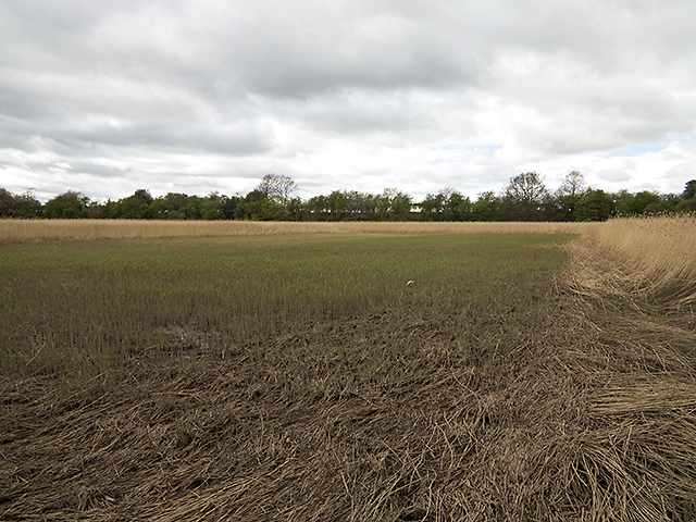
Image: © William Starkey Taken: 11 May 2013
A clearance in reedbed growing by the River Tay. New plant growth can be seen in the cleared area, which also contains wildflowers - particularly marsh marigold, with seeds presumably transported here by the Tay. The river is less than ten metres from here, but access is all but impossible due to the terrain.
Images are licensed for reuse under creativecommons.org/licenses/by-sa/2.0
Image Location
Latitude
56.401757
Longitude
-3.167357