Looking down on Charmouth
Introduction
The photograph on this page of Looking down on Charmouth by Peter Barr as part of the Geograph project.
The Geograph project started in 2005 with the aim of publishing, organising and preserving representative images for every square kilometre of Great Britain, Ireland and the Isle of Man.

There are currently over 7.5m images from over 14,400 individuals and you can help contribute to the project by visiting https://www.geograph.org.uk
Looking down on Charmouth
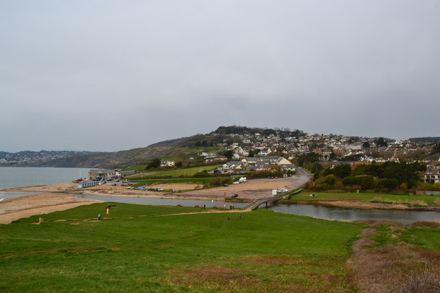
Image: © Peter Barr Taken: 28 Apr 2013
The section of the coast path between Charmouth and the NT car park on Stonebarrow Hill has been closed.
Images are licensed for reuse under creativecommons.org/licenses/by-sa/2.0
Image Location
Latitude
50.734662
Longitude
-2.900465