Homes for heroes, Woodmansterne Lane
Introduction
The photograph on this page of Homes for heroes, Woodmansterne Lane by Christopher Hilton as part of the Geograph project.
The Geograph project started in 2005 with the aim of publishing, organising and preserving representative images for every square kilometre of Great Britain, Ireland and the Isle of Man.

There are currently over 7.5m images from over 14,400 individuals and you can help contribute to the project by visiting https://www.geograph.org.uk
Homes for heroes, Woodmansterne Lane
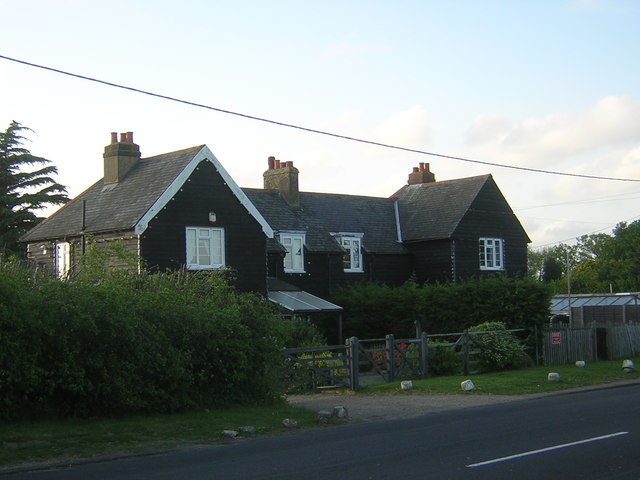
Image: © Christopher Hilton Taken: 10 May 2013
Along Woodmansterne Lane and around it on the surrounding fields are many of these black clapboarded semi-detached houses. A terracotta plaque on the pair opposite this reads "SCC 1920", indicating that they were put up by Surrey County Council immediately after the First World War; they were a conscious attempt to set up smallholdings for demobbed soldiers.
Images are licensed for reuse under creativecommons.org/licenses/by-sa/2.0
Image Location
Latitude
51.342414
Longitude
-0.152317