Walves Reservoir
Introduction
The photograph on this page of Walves Reservoir by John Lomas as part of the Geograph project.
The Geograph project started in 2005 with the aim of publishing, organising and preserving representative images for every square kilometre of Great Britain, Ireland and the Isle of Man.

There are currently over 7.5m images from over 14,400 individuals and you can help contribute to the project by visiting https://www.geograph.org.uk
Walves Reservoir
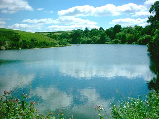
Image: © John Lomas Taken: 7 Aug 2005
View taken looking SE from Dam, edge of the square is, about, where the far bank disappears round the bend.
Images are licensed for reuse under creativecommons.org/licenses/by-sa/2.0
Image Location


Leaflet Map data © OpenStreetMap
Latitude
53.632702
Longitude
-2.385584