East along The Star, Holt, Wiltshire
Introduction
The photograph on this page of East along The Star, Holt, Wiltshire by Brian Robert Marshall as part of the Geograph project.
The Geograph project started in 2005 with the aim of publishing, organising and preserving representative images for every square kilometre of Great Britain, Ireland and the Isle of Man.

There are currently over 7.5m images from over 14,400 individuals and you can help contribute to the project by visiting https://www.geograph.org.uk
East along The Star, Holt, Wiltshire
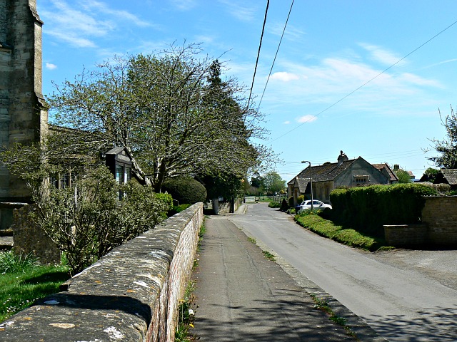
Image: © Brian Robert Marshall Taken: 6 May 2013
St Katharine's Church is just visible at the left. The Star carries on for roughly a further kilometre before it joins the rather more prosaically named Station Road, which in turn leads to the site of Holt Junction station, closed in 1966.
Images are licensed for reuse under creativecommons.org/licenses/by-sa/2.0
Image Location
Latitude
51.352942
Longitude
-2.201134