Lane to Hills Farm
Introduction
The photograph on this page of Lane to Hills Farm by Nigel Mykura as part of the Geograph project.
The Geograph project started in 2005 with the aim of publishing, organising and preserving representative images for every square kilometre of Great Britain, Ireland and the Isle of Man.

There are currently over 7.5m images from over 14,400 individuals and you can help contribute to the project by visiting https://www.geograph.org.uk
Lane to Hills Farm
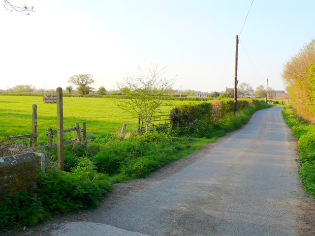
Image: © Nigel Mykura Taken: 2 May 2013
Although this lane leads directly to the farm, it is tarmaced because it has a substantial side lane that leads to the local sewage works. The footpath on the left is part of the Macmillan Way.
Images are licensed for reuse under creativecommons.org/licenses/by-sa/2.0
Image Location
Latitude
50.968905
Longitude
-2.777669