Calceby: spring and Beck
Introduction
The photograph on this page of Calceby: spring and Beck by Chris as part of the Geograph project.
The Geograph project started in 2005 with the aim of publishing, organising and preserving representative images for every square kilometre of Great Britain, Ireland and the Isle of Man.

There are currently over 7.5m images from over 14,400 individuals and you can help contribute to the project by visiting https://www.geograph.org.uk
Calceby: spring and Beck
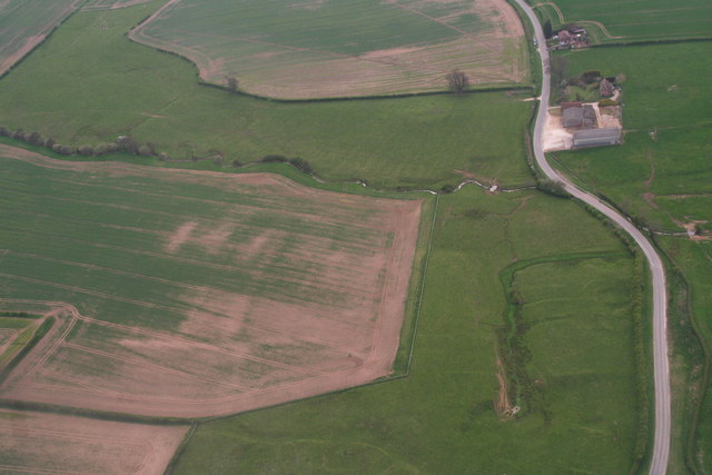
Image: © Chris Taken: 5 May 2013
Calceby Beck runs across the photo. It is the source of the Great Eau. In the foreground is a spring. In all of the grassland it is just possible to make out the earthworks associated with the medieval village of Calceby.
Images are licensed for reuse under creativecommons.org/licenses/by-sa/2.0
Image Location
Latitude
53.259205
Longitude
0.076927