Houses at Bank Top, Chillingham
Introduction
The photograph on this page of Houses at Bank Top, Chillingham by Graham Robson as part of the Geograph project.
The Geograph project started in 2005 with the aim of publishing, organising and preserving representative images for every square kilometre of Great Britain, Ireland and the Isle of Man.

There are currently over 7.5m images from over 14,400 individuals and you can help contribute to the project by visiting https://www.geograph.org.uk
Houses at Bank Top, Chillingham
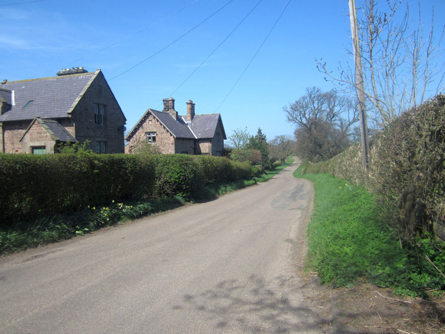
Image: © Graham Robson Taken: 7 May 2013
Looking along the country road running through Chillingham. The road is named as Bank Top as it passes through the small village. The former estate houses visible on the left of the photo are grade 2 listed.
Images are licensed for reuse under creativecommons.org/licenses/by-sa/2.0
Image Location
Latitude
55.528425
Longitude
-1.911738