St Albans Arena
Introduction
The photograph on this page of St Albans Arena by Ian Capper as part of the Geograph project.
The Geograph project started in 2005 with the aim of publishing, organising and preserving representative images for every square kilometre of Great Britain, Ireland and the Isle of Man.

There are currently over 7.5m images from over 14,400 individuals and you can help contribute to the project by visiting https://www.geograph.org.uk
St Albans Arena
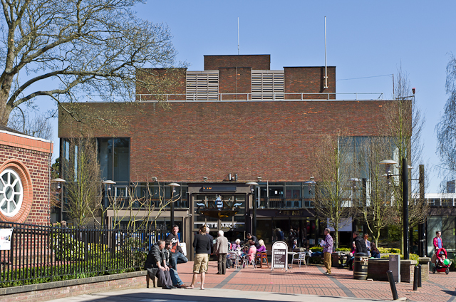
Image: © Ian Capper Taken: 20 Apr 2013
Entertainment and exhibition centre, originally known as the City Hall, designed by Sir Frederick Gibbert. It opened in 1968 and is locally listed.
Images are licensed for reuse under creativecommons.org/licenses/by-sa/2.0
Image Location
Latitude
51.75293
Longitude
-0.336647