NE side of Pengam railway station
Introduction
The photograph on this page of NE side of Pengam railway station by Jaggery as part of the Geograph project.
The Geograph project started in 2005 with the aim of publishing, organising and preserving representative images for every square kilometre of Great Britain, Ireland and the Isle of Man.

There are currently over 7.5m images from over 14,400 individuals and you can help contribute to the project by visiting https://www.geograph.org.uk
NE side of Pengam railway station
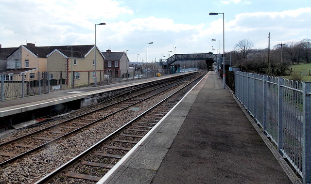
Image: © Jaggery Taken: 1 May 2013
A view from the NE edge of platform 2 looking towards the station footbridge. Pengam railway station is in the small village of Glan-y-nant, part of Pengam community in Caerphilly county borough. The station is part of the Rhymney Line, located between Gilfach Fargoed station behind the camera and Hengoed station ahead.
Images are licensed for reuse under creativecommons.org/licenses/by-sa/2.0
Image Location
Latitude
51.670184
Longitude
-3.230092