Path to Pengam railway station
Introduction
The photograph on this page of Path to Pengam railway station by Jaggery as part of the Geograph project.
The Geograph project started in 2005 with the aim of publishing, organising and preserving representative images for every square kilometre of Great Britain, Ireland and the Isle of Man.

There are currently over 7.5m images from over 14,400 individuals and you can help contribute to the project by visiting https://www.geograph.org.uk
Path to Pengam railway station
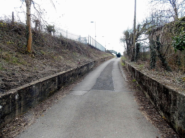
Image: © Jaggery Taken: 1 May 2013
Access to the platform on the west side of Pengam railway station (for trains northwards to Gilfach Fargoed, Bargoed and stations to Rhymney) is either up this path from Pengam Road, or via the station footbridge. http://www.geograph.org.uk/photo/3450071
Images are licensed for reuse under creativecommons.org/licenses/by-sa/2.0
Image Location
Latitude
51.670184
Longitude
-3.230092