Riverside track, Fleur de Lys
Introduction
The photograph on this page of Riverside track, Fleur de Lys by Jaggery as part of the Geograph project.
The Geograph project started in 2005 with the aim of publishing, organising and preserving representative images for every square kilometre of Great Britain, Ireland and the Isle of Man.

There are currently over 7.5m images from over 14,400 individuals and you can help contribute to the project by visiting https://www.geograph.org.uk
Riverside track, Fleur de Lys
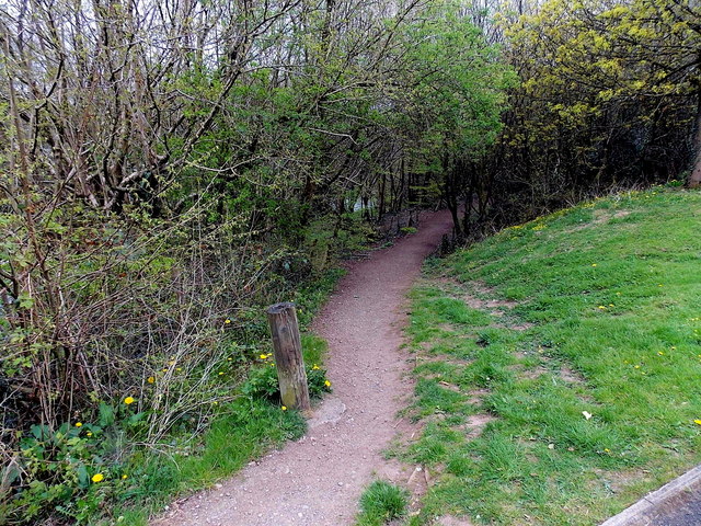
Image: © Jaggery Taken: 3 May 2013
Near the western edge of Fleur de Lys, a track heads away from the road to Tir-y-berth, along the west bank of the Rhymney River.
Images are licensed for reuse under creativecommons.org/licenses/by-sa/2.0
Image Location
Latitude
51.663487
Longitude
-3.225573