The crossroads at Eden Methodist church
Introduction
The photograph on this page of The crossroads at Eden Methodist church by John Baker as part of the Geograph project.
The Geograph project started in 2005 with the aim of publishing, organising and preserving representative images for every square kilometre of Great Britain, Ireland and the Isle of Man.

There are currently over 7.5m images from over 14,400 individuals and you can help contribute to the project by visiting https://www.geograph.org.uk
The crossroads at Eden Methodist church
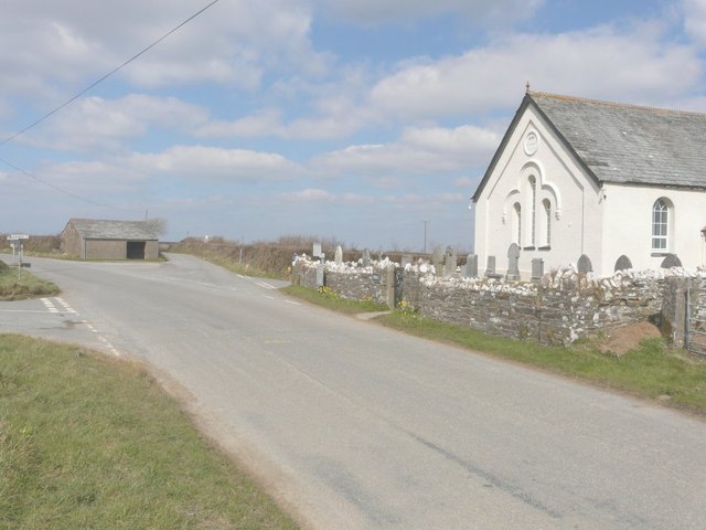
Image: © John Baker Taken: 29 Mar 2013
The church dates from 1893. The road on the left takes you to Trengune, the road to the left of the barn to Wainhouse Corner and to its right to Jacobstow, while the road just past the church to Headon.
Images are licensed for reuse under creativecommons.org/licenses/by-sa/2.0
Image Location
Latitude
50.720281
Longitude
-4.55987