Ford Road approaches the Rhymney bridge, Fleur-de-lis
Introduction
The photograph on this page of Ford Road approaches the Rhymney bridge, Fleur-de-lis by Jaggery as part of the Geograph project.
The Geograph project started in 2005 with the aim of publishing, organising and preserving representative images for every square kilometre of Great Britain, Ireland and the Isle of Man.

There are currently over 7.5m images from over 14,400 individuals and you can help contribute to the project by visiting https://www.geograph.org.uk
Ford Road approaches the Rhymney bridge, Fleur-de-lis
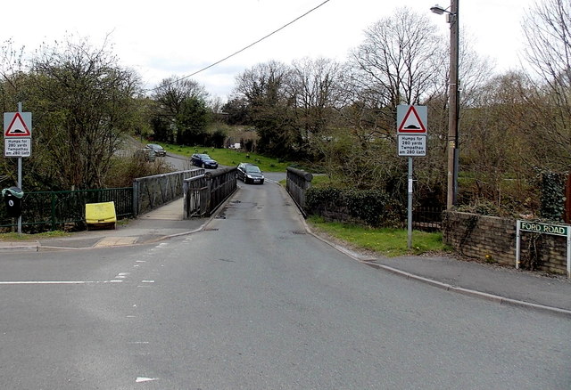
Image: © Jaggery Taken: 3 May 2013
At the end of its descent from High Street, Ford Road crosses the Rhymney River. There is a separate footbridge. On the far side of the Rhymney is Beatty Street and the village of Tir-y-berth.
Images are licensed for reuse under creativecommons.org/licenses/by-sa/2.0
Image Location
Latitude
51.663757
Longitude
-3.225581