Rushton Road
Introduction
The photograph on this page of Rushton Road by David P Howard as part of the Geograph project.
The Geograph project started in 2005 with the aim of publishing, organising and preserving representative images for every square kilometre of Great Britain, Ireland and the Isle of Man.

There are currently over 7.5m images from over 14,400 individuals and you can help contribute to the project by visiting https://www.geograph.org.uk
Rushton Road
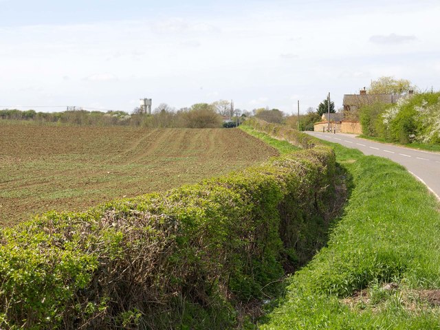
Image: © David P Howard Taken: 6 May 2013
Looking WSW parallel to Rushton Road near Styles Lodge. The water tower at Image at the end of Scott Avenue, can just be seen centre left.
Images are licensed for reuse under creativecommons.org/licenses/by-sa/2.0
Image Location
Latitude
52.42874
Longitude
-0.784398