Stonehouse, Beauport Park
Introduction
The photograph on this page of Stonehouse, Beauport Park by Simon Carey as part of the Geograph project.
The Geograph project started in 2005 with the aim of publishing, organising and preserving representative images for every square kilometre of Great Britain, Ireland and the Isle of Man.

There are currently over 7.5m images from over 14,400 individuals and you can help contribute to the project by visiting https://www.geograph.org.uk
Stonehouse, Beauport Park
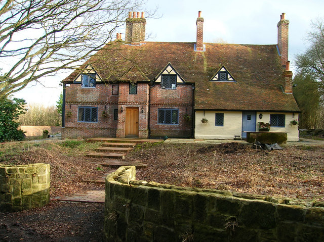
Image: © Simon Carey Taken: 21 Feb 2007
Deep in the middle of the woods is this one building. Marked as a farm on the 1805 map but losing that apellation by the 1880 map. The outer buildings include a barn and little else.
Images are licensed for reuse under creativecommons.org/licenses/by-sa/2.0
Image Location
Latitude
50.901524
Longitude
0.543592