Site of former Minster-on-Sea station, 1995
Introduction
The photograph on this page of Site of former Minster-on-Sea station, 1995 by Ben Brooksbank as part of the Geograph project.
The Geograph project started in 2005 with the aim of publishing, organising and preserving representative images for every square kilometre of Great Britain, Ireland and the Isle of Man.

There are currently over 7.5m images from over 14,400 individuals and you can help contribute to the project by visiting https://www.geograph.org.uk
Site of former Minster-on-Sea station, 1995
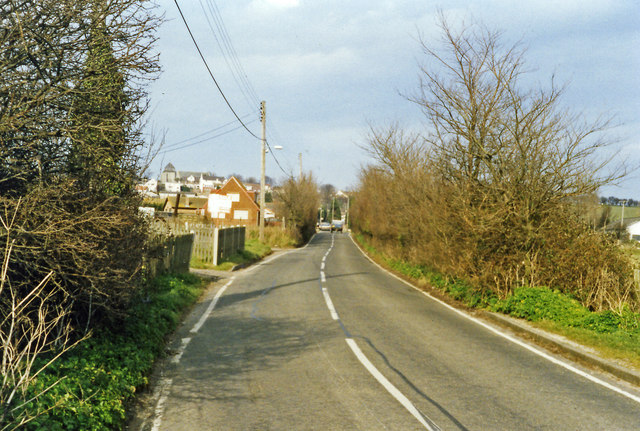
Image: © Ben Brooksbank Taken: 11 Mar 1995
View NNE on Scocles Road, towards Minster-on-Sea: ex-SE&CR Sheppey (Queenborough - Leysdown) Light Railway, all closed 4/12/50.
Images are licensed for reuse under creativecommons.org/licenses/by-sa/2.0
Image Location
Latitude
51.417112
Longitude
0.808728