Lower Plaidy
Introduction
The photograph on this page of Lower Plaidy by Anne Burgess as part of the Geograph project.
The Geograph project started in 2005 with the aim of publishing, organising and preserving representative images for every square kilometre of Great Britain, Ireland and the Isle of Man.

There are currently over 7.5m images from over 14,400 individuals and you can help contribute to the project by visiting https://www.geograph.org.uk
Lower Plaidy
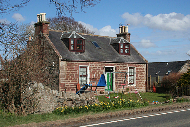
Image: © Anne Burgess Taken: 1 May 2013
This traditional red sandstone house stands right beside the A947.
Images are licensed for reuse under creativecommons.org/licenses/by-sa/2.0
Image Location
Latitude
57.583243
Longitude
-2.453027