Vested house, Greenisland (2013-5)
Introduction
The photograph on this page of Vested house, Greenisland (2013-5) by Albert Bridge as part of the Geograph project.
The Geograph project started in 2005 with the aim of publishing, organising and preserving representative images for every square kilometre of Great Britain, Ireland and the Isle of Man.

There are currently over 7.5m images from over 14,400 individuals and you can help contribute to the project by visiting https://www.geograph.org.uk
Vested house, Greenisland (2013-5)
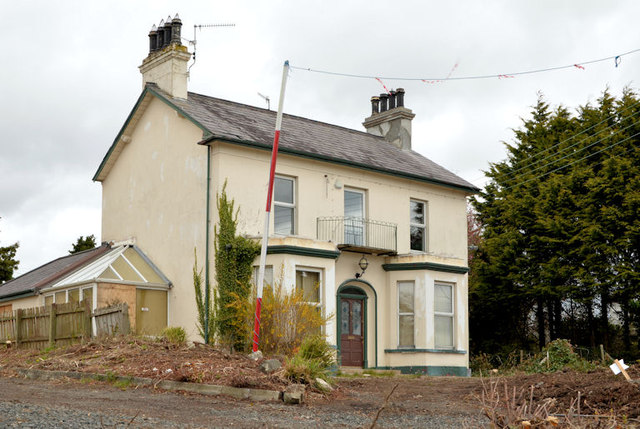
Image: © Albert Bridge Taken: 4 May 2013
A large detached house, on the Belfast side of Neill’s Lane, now vacant and awaiting demolition. The line for the new road is in the foreground. Also seen (right) in Image
Images are licensed for reuse under creativecommons.org/licenses/by-sa/2.0
Image Location
Latitude
54.687858
Longitude
-5.871183